History of Remote Sensing | Application of Remote Sensing

Table of Contents
History of Remote Sensing

In the past time, the only way to store records was photography. The contemporary era of remote sensing, rise with the expansion of flight development.
In 1858, the prominent name Nadar clicked pictures of Paris from his balloon. In that era, kites, messenger pigeons, rockets, and balloons were also familiar ways to do photography.
Only balloons images were useful for map making and scientific uses. Aerial photography was developed exclusively for military surveillance and reconnaissance purposes inauguration in world war I and end up during the cold war with the use of new combat aircraft such as collect images.
A more modern development is that of increasingly minor sensor pods such as those apply by law enforcement and the military, in together manned and unmanned platforms.
The benefit of this approach is that this requires negligible modification to a given airframe. Afterward, imaging technologies would comprise infrared, doppler, and synthetic aperture radar.
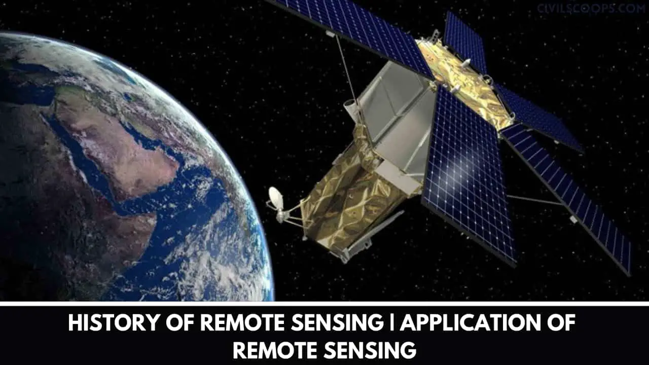
The improvement of artificial satellites in the second half of the 20th century permitted remote sensing to advancement to a worldwide scale as of the end of the cold war.
There are Different ways of earth-observing and weather satellites like Landsat, the nimbus, and new launch programs such as radars at provided the global capacity of various data for civilian and military, research purposes.
Space probes to other planets have also offered the chance to conduct remote sensing studies in extraterrestrial synthetic aperture radar the Magellan spacecraft provided detailed topographic views of venus.
The current improvement includes, launch in the 1960s to 1970s with the development of picture processing of satellite imagery.
Numerous research groups in silicon valley, including NASA Ames research center, and developed Fourier transform techniques leading to the first notable enhancement of imagery data. In the year 1999, the first commercial satellite (Nikonos) gather very high-resolution imagery was launched.
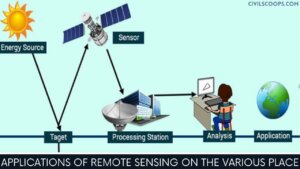
Applications of Remote Sensing on the Various Place

- Usual radar is regularly related to aerial traffic control, warning, fix large scale meteorological data.
- One more doppler radars used by local area monitoring of speed limits and in enhanced meteorological gathering such as wind speed and direction within weather systems in accumulation to precipitation location and intensity.
- Another type of data collection involved plasmas in the ionosphere. Inter aerometric synthetic aperture radar is widely used to produce precise various digital elevation models of vast scale terrain.
- Laser and radar altimeters on satellites have offered a various range of data. By collecting data of the bulges of water caused by gravity, the map shows features on the variety a resolution of a mile or so on.
- Moreover, by checking the height and wavelength of ocean waves, the altimeters evaluate wind speeds and direction, and surface ocean flow currents and directions.
- Newly generated, light detection and ranging(lidar) is prominent in examples of weapon ranging, laser illuminated homing of projectiles.
- Lidar is applicable to detect and measure the concentration of a variety of chemicals involved in the atmosphere.
- On another side, airborne lidar can suitable to measure heights of objects and features on the ground more precisely compare to radar technology.
- The modern way of surveillance like ultrasound (acoustic) and radar tide gauges measure tides and wave direction, sea level, in coastal and offshore tide gauges.
- Another way like, radiometers and photometers are the most frequent instrument in use to gathering reflected and emitted radiation of various frequencies.
- The most common noticeable infrared sensors, followed by microwave, gamma-ray, and rarely, ultraviolet. They may be used to sense the discharge spectra of various chemicals, gives data on chemical concentrations in the atmosphere where it located.
- The radiometers have features by which it is useful at night because artificial light emissions are produced by human activity.
- This is also applicable to covered remote sensing of population, GDP, and sabotage of infrastructure from war or disasters.
- A spectropolarimetric picture has been reported to be very useful for target locating purposes by researchers in s. Army research laboratory.
- They had determined that human-made items hold polarimetric signatures that are not set up in natural objects.
- They reached on this conclusion from the imaging of military trucks, trailers with their acousto-optic tunable filter dual hyperspectral and spectropolarimetric over spectropolarimetric pictures.
- The stereographic pairs of aerial photographs have frequently used to construct topographic maps by terrain analysts, in the form of trafficability, imagery, and highway departments for probable routes, in addition to this modeling terrestrial habitat features.
- The multi-spectral platforms like Landsat have been in use since 1970, where thematic map creators take images in numerous wavelengths of electromagnetic radiation and usually found on earth observation satellites, for example, the Landsat program.
- Drawn maps of land cover, land use from thematic mapping also useful for finding the prospect for minerals digging, detecting or scrutinize land usage, deforestation, and checking the health of indigenous plants and crops in unreachable, including entire farming regions or forests.
- Well-known scientists using remote sensing for this purpose of gathering data include ruth De Fries and Janet franklin, Landsat images are used by authorized agencies such as kydow to indicate water quality or purity parameters, including density and total phosphorus content. Weather satellites are also used in meteorology and climatology.
- Latest, hyperspectral imaging generated an image where each pixel has full spectral information with imaging slight spectral bands over an adjacent spectral range.
- Hyperspectral imagers are used in a variety of applications, including biology, mineralogy, defense, and environmental measurements for the earth.
- During the battle against desertification, remote sensing allows researchers to work on it and follow up and examine risk areas in the long term, to conclude desertification factors.
- Moreover, to hold up decision-makers in defining appropriate measures of environmental management, and to assess their impacts on all other areas.
[su_box title=”FAQ” style=”default” box_color=”#333333″ title_color=”#FFFFFF” radius=”3″ class=”” id=””]
Remote Sensing in Civil Engineering
Remote sensing is used extensively in site investigations for dams, bridges, pipelines. It can be used to locate construction materials like sand and gravel for the new projects. Archaeological Investigation: Many structures of old era are now buried under the ground and are not known.
What Is Remote Sensing Engineering?
A remote sensing engineer applies remote sensing principles and methods to analyze data and solve problems in areas such as natural resource management and urban planning. They may develop new sensor systems, analytical techniques, or new applications for existing systems.
What Is Remote Sensing and GIS in Civil Engineering?
Geographic information system (GIS) technology provides the tools for creating, managing, analyzing, and visualizing the data associated with developing and managing infrastructure. Remote sensing allows correlation of spatial data to their attributes making them useful in various fields in this domain.
What Is Remote Sensing in Surveying?
Remote sensing is the process of detecting and monitoring the physical characteristics of an area by measuring its reflected and emitted radiation at a distance (typically from satellite or aircraft).
Application of Remote Sensing in Surveying
Some applications are land classification and cartographic mapping and updating. It is also used to monitor urban growth, categorize land capability, regional planning and mapping transportation networks. Very accurate DTM’s or digital terrain models can be achieved through aerial photography and Remote Sensing data.
[/su_box]
[su_note note_color=”#F2F2F2 ” text_color=”#333333″ radius=”3″ class=”” id=””]
Like this post? Share it with your friends!
Suggested Read-
- Difference Between Short Column and Long Column
- How a Building Is Constructed | Components of Building
- What Is Plastering | What Is Pointing | Difference Between Plastering and Pointing |
- What Is Estimate? | Types of Estimate | Advantage of Estimate | Disadvantage of Estimate
- Difference Between Coarse Aggregate and Fine Aggregate | What Is Coarse Aggregate? | What Is Fine Aggregate? | Advantage of coarse aggregates | Advantage of Fine Aggregate
[/su_note]
Originally posted 2022-07-01 12:37:39.
