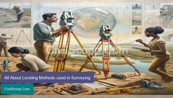
Surveying is a crucial aspect of many industries, from construction and engineering to land development and resource management. It involves the measurement and mapping of the earth’s surface to determine various parameters such as distance, elevation, and angles. However, to achieve accurate results, surveyors must utilize different leveling methods. These techniques allow for the determination of height differences between various points, creating a level surface for accurate measurements. In this article, we will take a comprehensive look at the various leveling methods used in surveying, their principles, and applications. With an understanding of these techniques, surveyors can ensure the precision and reliability of their surveys, leading to successful project outcomes.
Table of Contents
Types of Leveling Methods used in Surveying
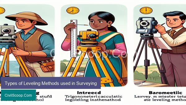
Leveling is a fundamental process in surveying which involves the determination of vertical distances or differences in elevation between points on the Earth’s surface. This is essential in creating accurate topographic maps, construction of buildings and roads, and in various engineering and construction projects. Different methods of leveling are used in surveying, depending on the terrain, equipment availability, and precision required. Below are some of the common types of leveling methods used in surveying.
1. Differential Leveling:
This is the most precise and commonly used method of leveling in surveying. It involves a series of measurements taken with a leveling instrument between a benchmark (a reference point with a known elevation) and the survey point. The elevation difference between these two points is computed by taking the difference between the height of the benchmark and the height of the survey point. The process is repeated to obtain elevations for all the survey points, resulting in a precise and accurate vertical profile of the terrain.
2. Trigonometric Leveling:
This method involves the use of trigonometric functions to determine the height difference between two points. A series of angles and distances are measured to establish a triangle between the benchmark and the survey point. The difference in heights can then be calculated using simple trigonometric formulas. This method is less accurate compared to differential leveling but is useful in surveys with steep or inaccessible terrain.
3. Barometric Leveling:
This method utilizes the changes in atmospheric pressure to determine differences in elevation. A barometer is used to measure changes in pressure between two points. As elevation increases, the atmospheric pressure decreases. By measuring these changes in pressure, the difference in height between the points can be calculated. However, this method is not suitable in areas with significant changes in weather conditions, and it is less accurate than differential leveling.
4. Spirit Leveling:
This technique involves the use of a spirit level, which is a cylindrical glass tube filled with liquid and has a bubble in the center. The instrument is placed on a leveling staff held vertically, and the position of the bubble is used to determine the difference in height between two points. This method is simple and affordable but is not very accurate and is prone to errors.
5. Precision Leveling:
Also known as geodetic leveling, this method utilizes highly accurate and sophisticated surveying instruments such as total stations or GPS receivers to measure differences in elevation between points. It is similar to differential leveling, but the measurements are taken over longer distances, and the precision is higher. This method is usually used for high-precision surveys, such as national and international mapping projects.
In conclusion, the type of leveling method used in surveying depends on various factors, such as terrain, accuracy requirements, and availability of equipment. By using the appropriate method, surveyors can obtain accurate elevation data, which is essential in any engineering or construction project.
What Is Leveling?
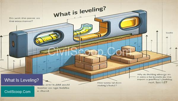
Leveling is a surveying technique used to determine the elevation or height of a point on the surface of the Earth or any other object. It is a crucial aspect of civil engineering, allowing for accurate measurements and designs of construction projects.
The process of leveling involves measuring the vertical distance between two points, known as elevations. The difference in elevation is then used to determine the slope or gradient between the two points. This information is important for site preparation, road design, and building construction.
There are three main types of leveling methods: differential leveling, trigonometric leveling, and barometric leveling.
1. Differential Leveling: This is the most commonly used method of leveling in civil engineering. It involves using a level instrument, such as an optical level or a digital level, to measure the vertical distance between two points. One point is usually a benchmark with a known elevation, while the other is the point whose elevation needs to be determined.
2. Trigonometric Leveling: This method involves using a theodolite, a precision instrument for measuring angles, to measure the horizontal and vertical angles between two points. The difference in these angles can then be used to calculate the vertical distance or elevation between the points.
3. Barometric Leveling: This method uses a barometer to measure the atmospheric pressure at different elevations. By comparing the pressure readings at the two points, the difference in elevation can be determined. This method is suitable for areas with steep or inaccessible terrain.
Leveling has various applications in civil engineering. It is used to determine the appropriate height for structures, such as buildings, bridges, and roads, to ensure they are stable and safe. It is also crucial for setting up drainage systems to ensure proper water flow.
In addition, leveling is used in land surveying to create topographic maps, which show the elevation and contour of an area. These maps are essential in planning and designing infrastructure projects, such as highways and railways.
Overall, leveling is a fundamental surveying technique that plays a crucial role in civil engineering. It allows for accurate and precise measurements of elevations, which are essential for the successful design and construction of various structures and infrastructure projects.
Types of Leveling in Surveying
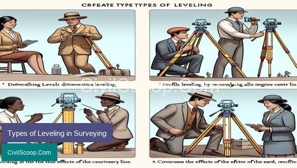
Leveling is a surveying technique used to measure the height or elevation of points on the earth’s surface. This is an essential process in civil engineering, as it provides accurate data for designing and constructing infrastructure such as roads, buildings, and drainage systems. There are different types of leveling methods used in surveying, each with its own advantages and applications. In this article, we will discuss the most commonly used types of leveling in surveying.
1. Differential Leveling:
Differential leveling is the most basic and widely used type of leveling in surveying. In this method, a surveyor uses a surveying level to measure the difference in elevation between two points on the ground. This is done by setting up the instrument at one point and reading the level rod at the other point. The difference in the readings gives the vertical distance between the two points, known as the height of collimation. Differential leveling is accurate, precise, and suitable for flat or slightly undulating terrain.
2. Trigonometric Leveling:
Trigonometric leveling, also known as indirect leveling, is a faster and more efficient method of leveling compared to differential leveling. It uses trigonometry principles to calculate the elevation difference between two points. In this method, the surveyor measures the horizontal and vertical angles between the two points, and using basic trigonometric formulas, the elevation difference is determined. Trigonometric leveling is useful in areas with difficult terrain or where access is limited.
3. Barometric Leveling:
Barometric leveling is a type of indirect leveling that uses the difference in atmospheric pressure to determine the change in elevation. In this method, a surveyor uses a barometer to measure the atmospheric pressure at two different points. As the atmospheric pressure decreases with an increase in elevation, the difference in readings gives the elevation difference between the two points. Barometric leveling is a quick and convenient method, but it is less accurate than differential and trigonometric leveling.
4. Precise Leveling:
As the name suggests, precise leveling is a highly accurate method used to determine small elevation changes. It involves measuring the difference in elevation between two points using a precise leveling instrument, such as a digital level or an electronic theodolite, with a precision of 0.1 mm or less. Precise leveling is mostly used for the construction of tunnels, dams, and other high-precision projects.
5. Spirit Leveling:
Spirit leveling, also known as simple leveling, is a type of differential leveling that uses a spirit level to determine the elevation difference between two points. In this method, the surveyor places the level horizontally on a tripod and measures the height of the leveling staff held vertically at the two points. Spirit leveling is suitable for small-scale surveys and for rough estimates.
In conclusion, leveling is an essential part of surveying in civil engineering. The type of leveling method used depends on the purpose, accuracy, and terrain of the project. Differential leveling is the most commonly used method, but other methods such as trigonometric, barometric, precise, and spirit leveling have their own applications and advantages. It is crucial to choose the right type of leveling method to ensure accurate and reliable survey data for successful construction projects.
Conclusion
In conclusion, surveying is a critical process in the construction and development of various projects. It involves precise measurements and leveling methods to ensure accuracy and consistency in the results obtained. The different leveling methods, such as trigonometric and differential leveling, each have their advantages and limitations and should be carefully chosen based on the specific project requirements. Additionally, advancements in technology have introduced more efficient and accurate surveying tools, such as the use of GPS and laser levels. It is crucial for surveyors to have a thorough understanding of the leveling methods and their applications to produce reliable and precise results. By incorporating the appropriate leveling method in a surveying project, professionals can ensure the success and safety of various infrastructure developments.